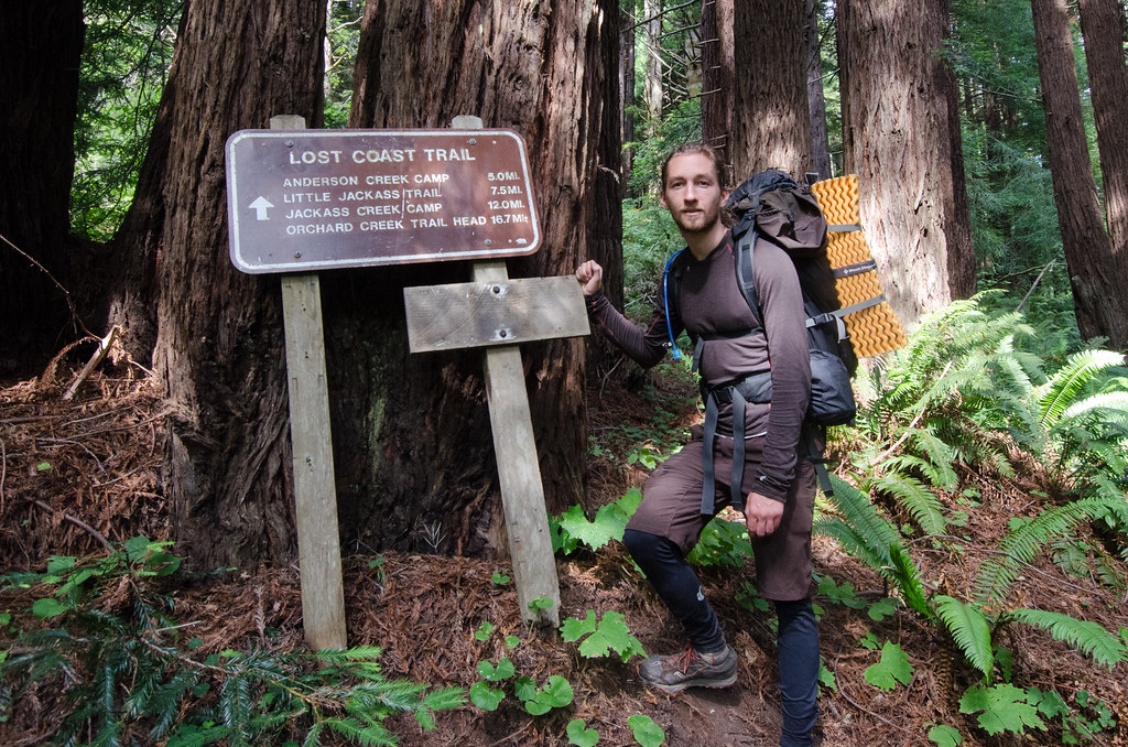
In August of 2013, my friend and I traveled to California to attempt the Lost Coast Trail (LCT). The LCT spans 50-60 miles of coastal northern California, starting in Humbolt County and finishing in Mendocino County. The LCT is a primitive route with little upkeep from the CA State Parks Department. Having read numerous trip reports, we decided on a 6 day/6 night north-to-south itinerary. In retrospect, I would encourage new visitors to either take a full 7 days and nights or hike the north or south portion of the trail alone in 4 days and nights. Here is a rundown of my 6 day/6 night version of the hike along with some gear recommendations.
We woke up in Santa Rosa, CA, packed up the car, and drove north to the Mattole Trailhead in Humbolt County. We were warned online that the drive takes a long time due to exiting the highway with some 30+ miles of dirt/poor roads to reach the trailhead. The highway portion of the drive on 101-North seemed fast, so we opted to take a scenic detour on the Avenue of the Giants. The Avenue is a scenic byway that passes through Humbolt Redwoods State Park offering fantastic views of virgin redwood trees. I would highly recommend this detour, but leave very early if you are coming from the bay area. We stopped briefly in the redwoods and admired the crowds at the Reggae on the Rocks festival before continuing to the trailhead.
The last 30-40 miles of the ride did take a long time. We stopped at the Petrolia General Store to get sandwiches (which were great even though I couldn't eat all of mine due to stomach jitters) before driving the last 8 miles to the beach. Up to this point the weather was beautiful and sunny. The last few miles are a drop down to sea level which brought thick fog and killed all direct sunlight. We didn't know at the time, but it would stay that way for several days.
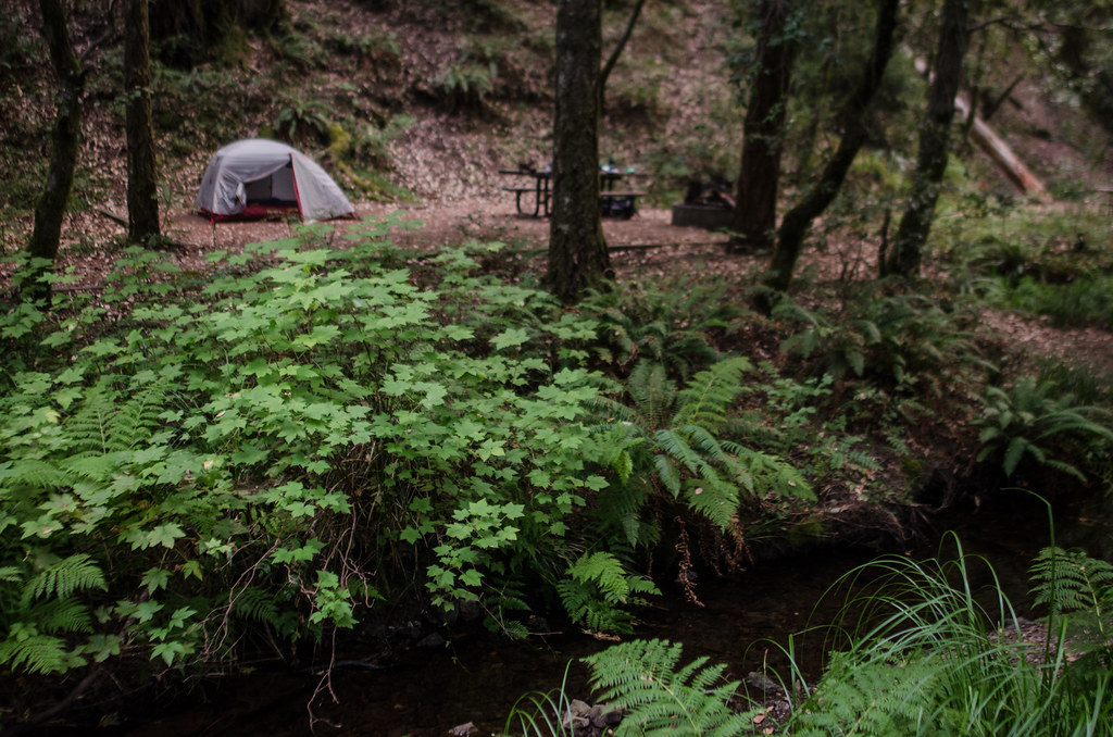
The Mattole trailhead was nice. There is a large double outhouse and several camp spots. This would be a great destination for secluded car camping if hiking isn't your thing. It was also a great place to take in our last glimpse of civilization for a few days. The campground was hosting 15+ guests, but we didn't see another person for 2 days once we walked a few hundred yards away. There is no real trail to Punta Gorda Lighthouse. We started walking in the sand with the water on our right. It was easier to walk near the water where the sand was hard.
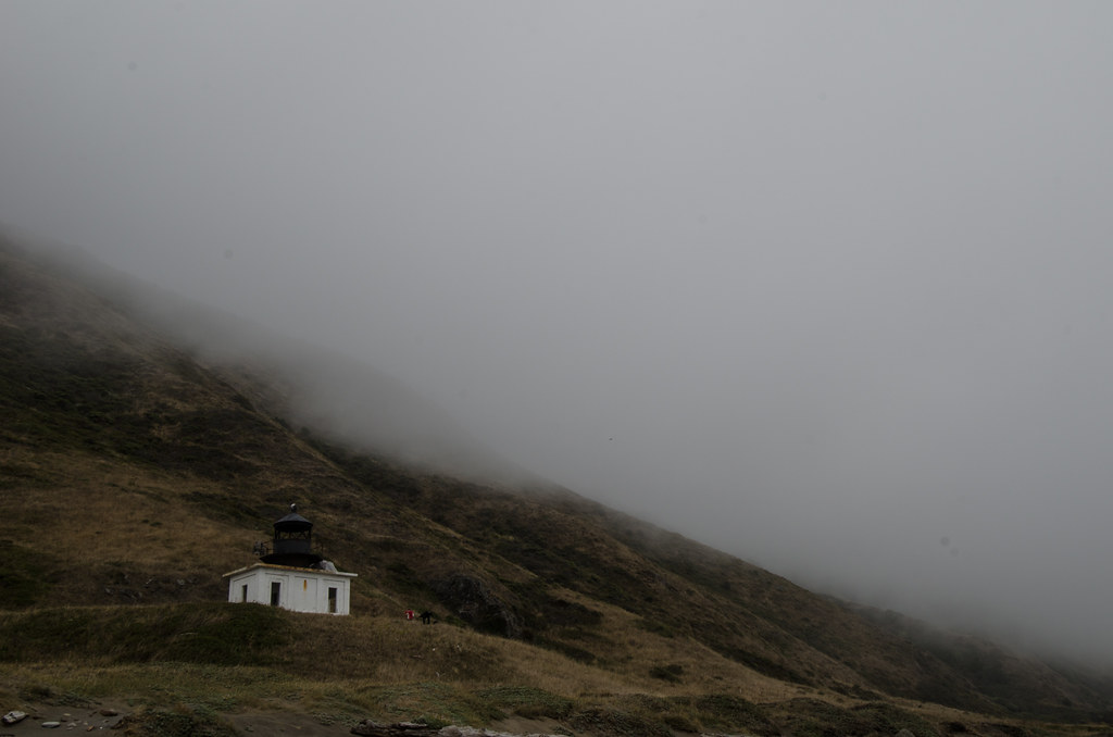
We gained sight of the lighthouse just before passing a hermit hut. Upon first sight, the light was smaller than the height of a pinky finger at arms length. Punta Gorda Lighthouse from the north:
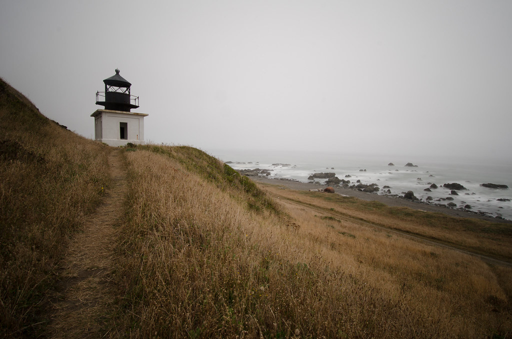
Looking up at Punta Gorda Lighthouse from the beach:
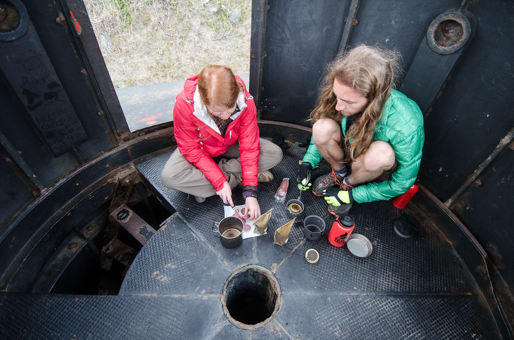
Cooking in the decommissioned watch room of the lighthouse:
Sleeping on the lighthouse was intimidating at first. While getting into the tent I thought about the potential to slide off the roof. But a long day of driving and walking with a heavy pack put me to sleep instantly. This was my best night of sleep even though we had to wake up at 2am to make it to and through the high tide zone. The first high tide zone comes about 45 minutes after the Punta Gorda Lighthouse. One confusing aspect of the morning was moving from the beach where the lighthouse is located to a real trail on the top of a seaside cliff and then back down to the beach for the low tide zone. This would be much easier in the light, but unfortunatly the tides would not allow that on our trip.
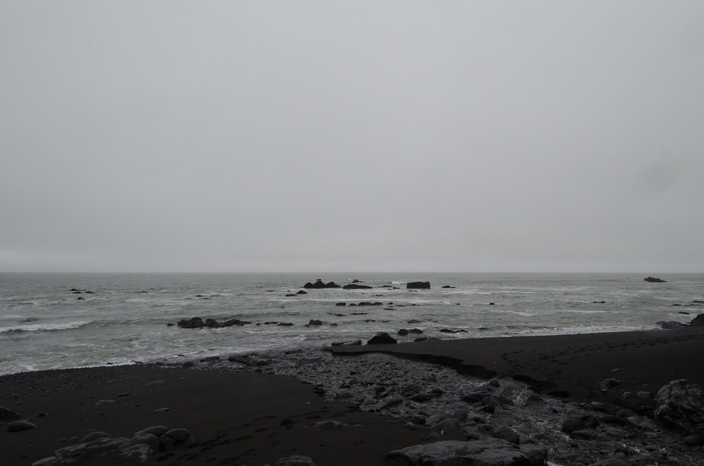
I took two shots in the danger zone. This area is completely submerged and impassable during high tide:

The high tide zone is confusing because it appears to end long before one actually arrives at Randall Creek. After the tight squeezes half-way through, the tidal plane widens greatly and the steepness decreases. I imagine the tide rises much faster on the lower angled slope.
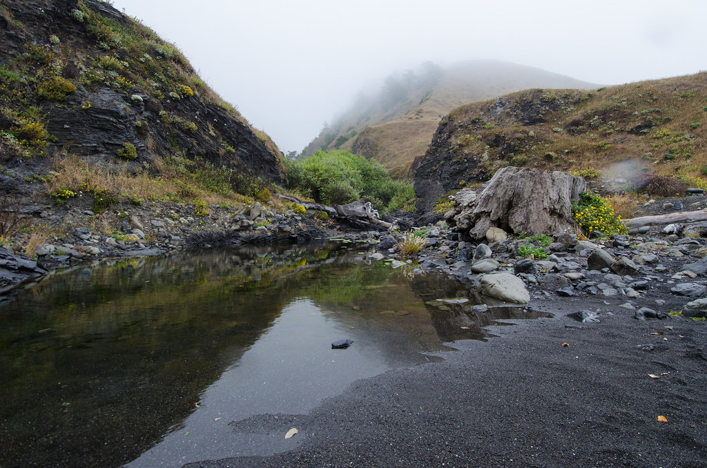
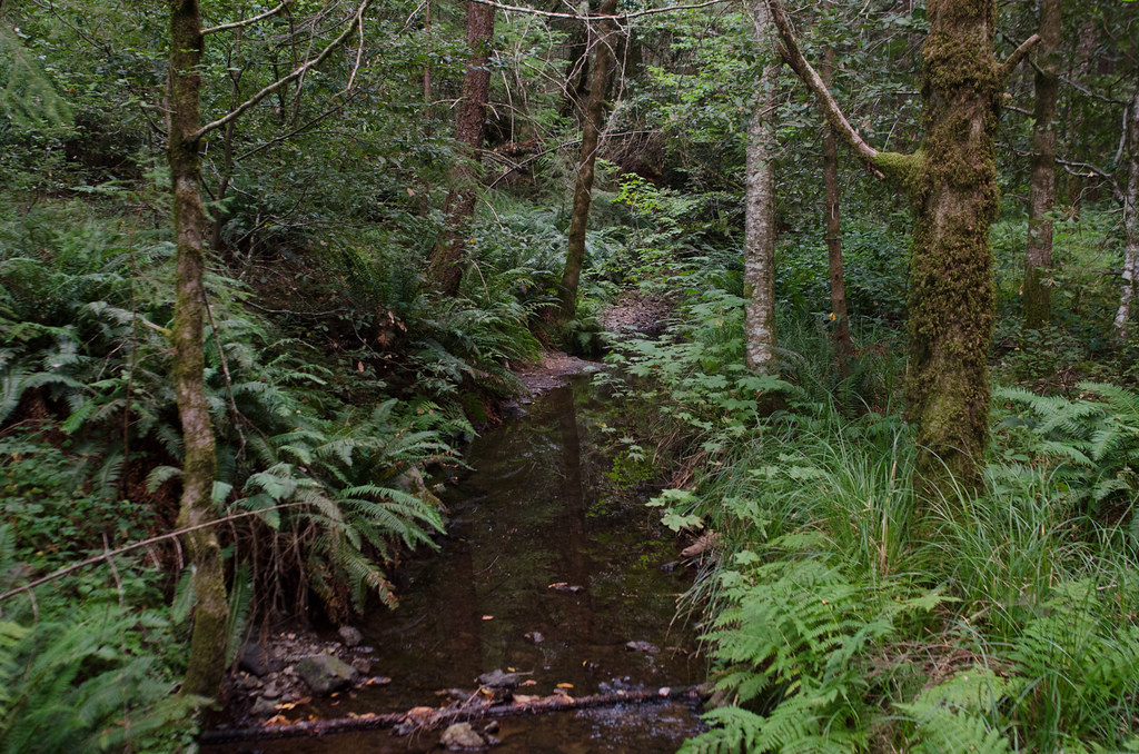
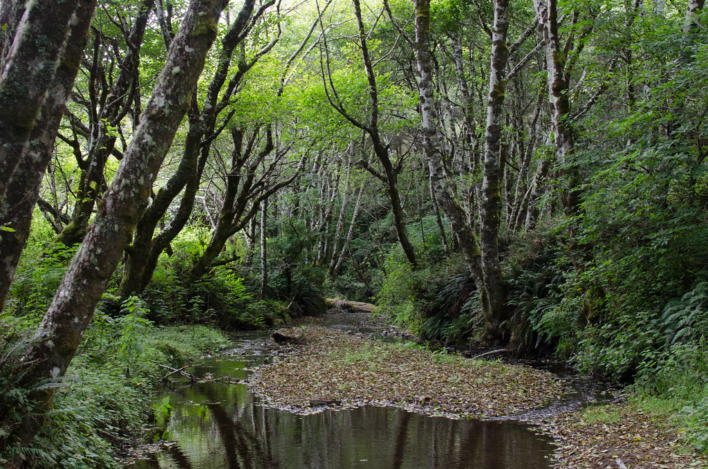
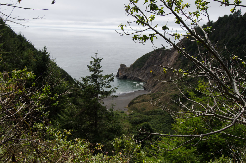
Arriving at Randall Creek is shocking. The opening of the creek to the ocean is very narrow and not obvious from a distance. But about 10 yards behind the opening in the cliffs is an area of thick vegetation and trees. Randall Creek is probably the most aesthetic site on the hike. I regret not spending the night there.
Randall Creek:
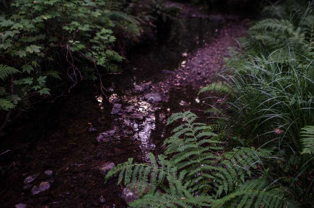
The creek running into the ocean:
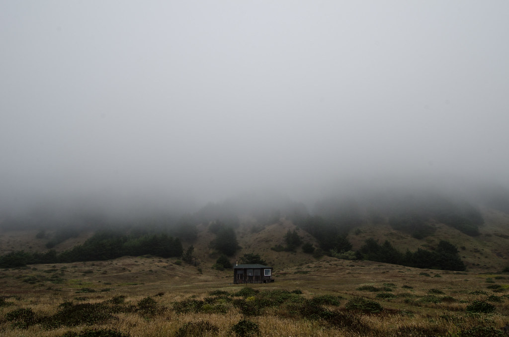
A small home on the trail to Big Flat Creek:
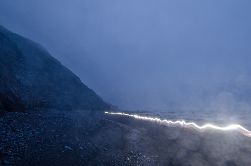
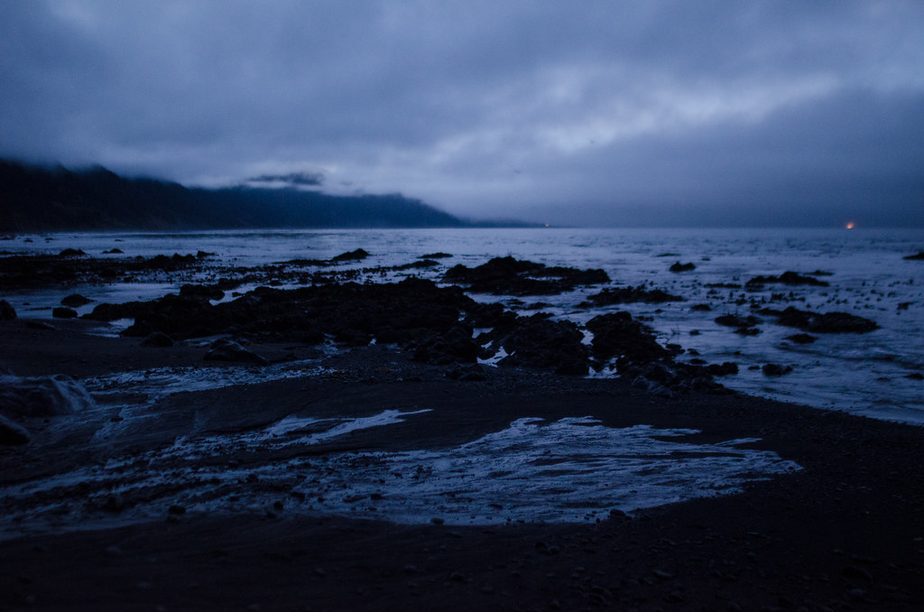
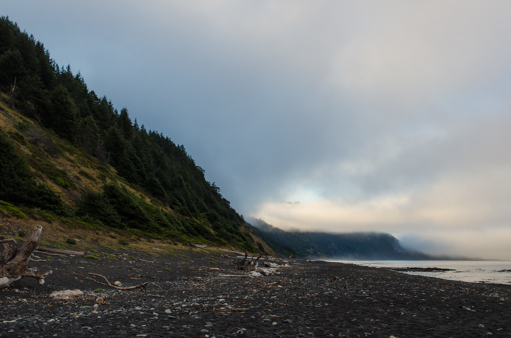
Fog and the distant light of Shelter Cover at the start of Day 3:
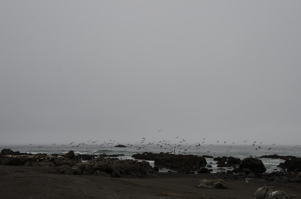
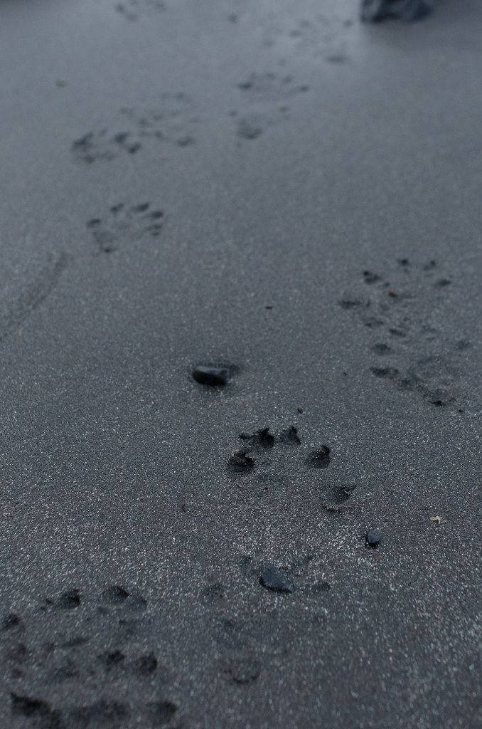
Day three was long and hard. We woke up early, pushed through the second tidal danger zone, and began to make out way to Shelter Cove. On the push to Shelter Cove, we had a stint of sunlight and also saw some animal tracks.

A broken boulder gateway marking the last mile until the Shelter Cover campgroud. Around this point, we started seeing a lot of day hikers and car campers:
We arrived at Shelter Cover trailhead around 2pm. We got a ride to a lunch place in town, ate, and started searching for a ride to the campground. A kind local picked us up, took us to a small general store, and drove us to the Wailaki Campground. Hitchhiking is highly recommended because the ride out of town is extremely steep.
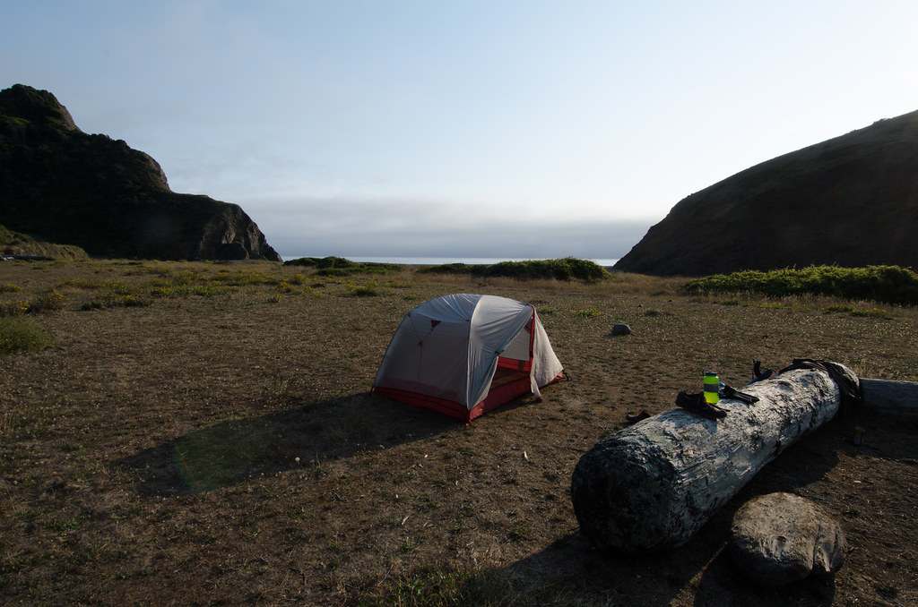
Our camping spot:
On day 4, we crossed from the King Range Wilderness into Sinkyone State Park, which is the signifier of crossing the border into Mendocino County. Leaving our campsite at Wailaki was a little confusing because the sites are all connected by a small trail system that is easily confused with the exit trail. We took the wrong path and did about an hour of detour hiking, which was okay because it resulted in a nice breakfast location.

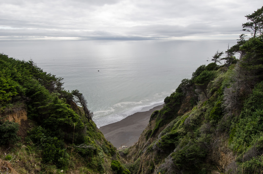
The view approaching Bear Harbor:
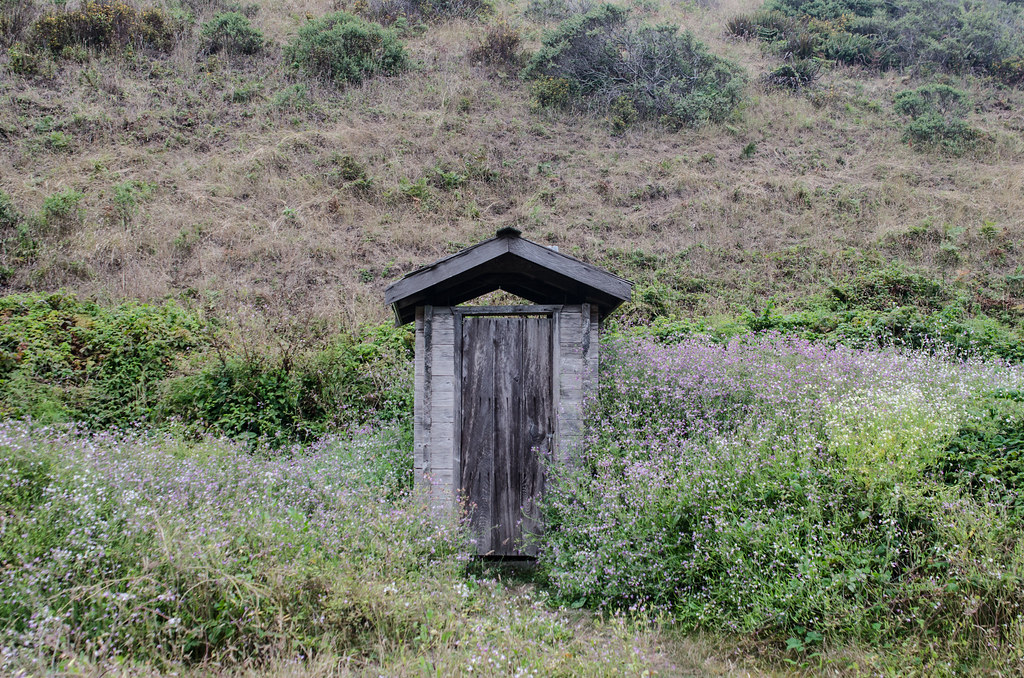
Outhouse surrounded by blooming wildflowers:
Bear Harbor camp was right next to a fairly wide creek:
Our actual camping spot:
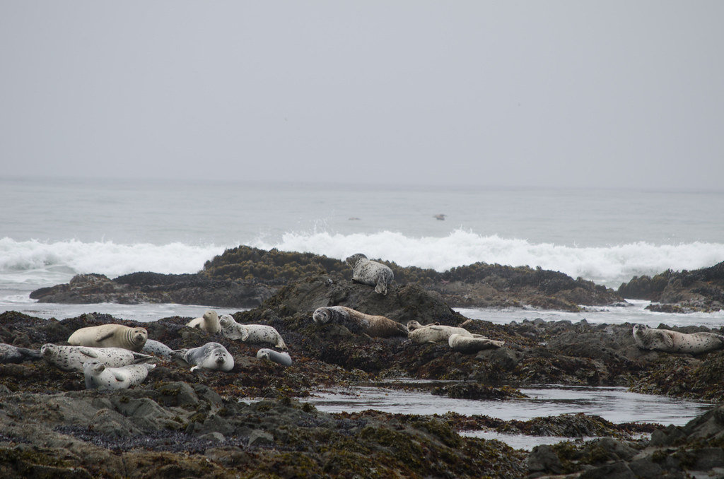
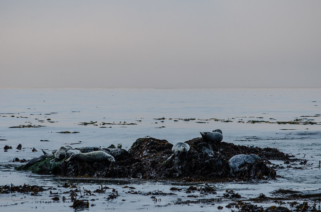
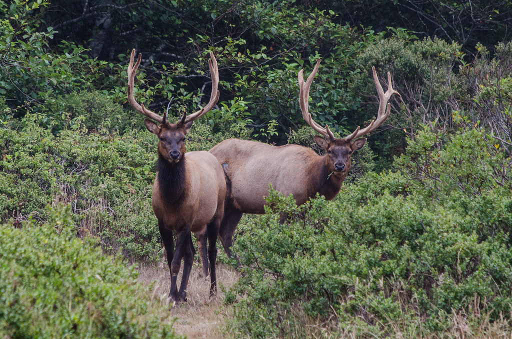
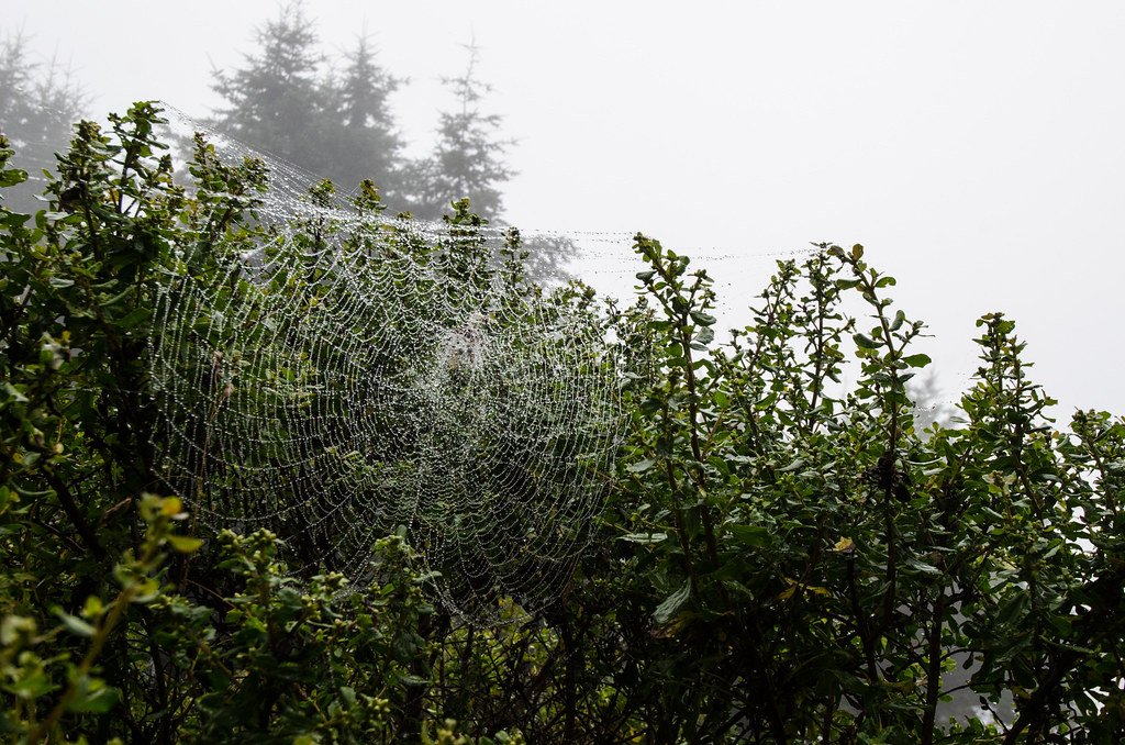
Visitors:
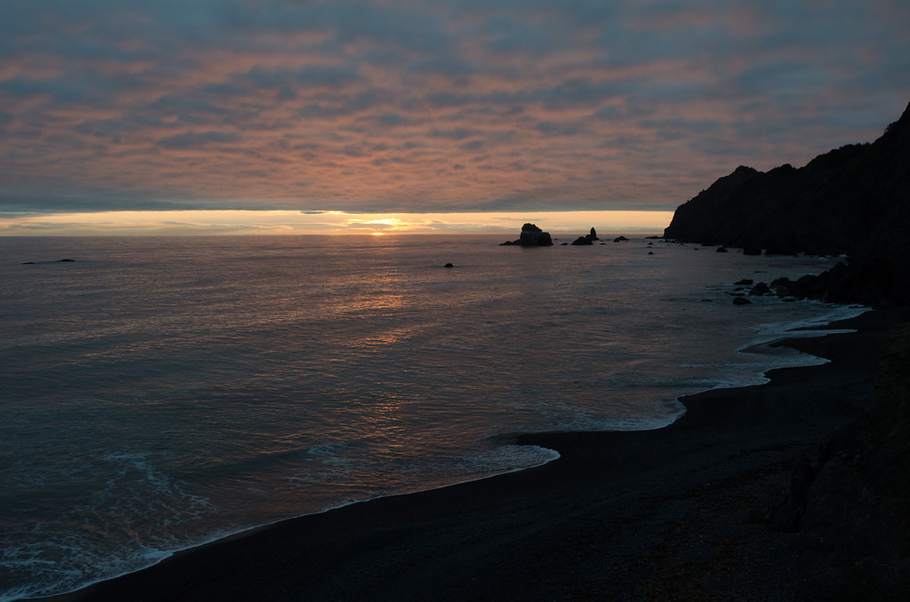
The only sunset we saw on the trip:
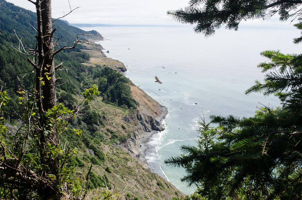
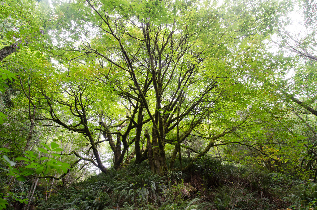
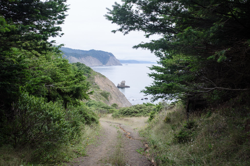
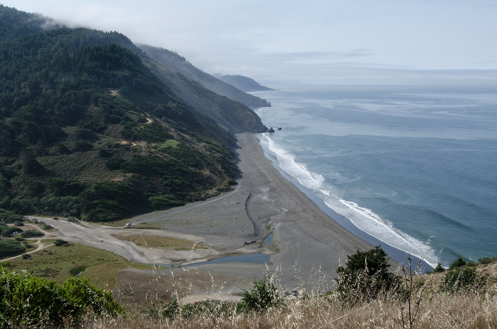
On day 5 we went up and down through the coastal forest. There are several excellent stopping points with views of the ocean.
In this photo, you can see how much elevation we gained on one of the many hills:
The weather was pleasant - around 75 F with cloud cover and rolling fog.
Regarding terrain, day 6 was very similar to day 5. I would recommend a different campground than Anderson Creek. It has the advantage of being fairly close to the Usal trailhead, but it is not very aesthetic and can only accommodate a couple of tents.
I didn't take photos of the campsite. Here is a shot of the final descent into Usal campground:
And finally a photo of me in the redwood grove just before reaching the campground:
We arranged to be picked up at the trailhead and drive back to Santa Rosa via Fort Bragg and the coastal highway.
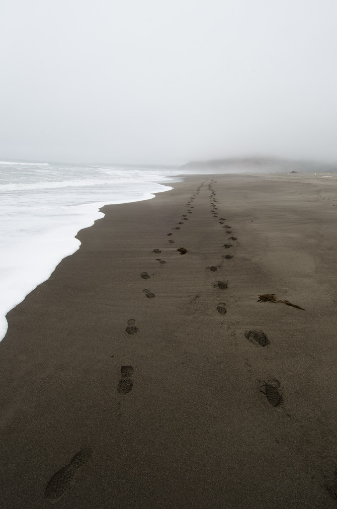
It was tough to deal with hiking on soft sand. I read several trip reports that mentioned the usefulness of trekking poles. My party did not bring those, and we regretted it afterwards. We ended up carving/repurposing sticks on the fourth day, but real walking sticks would be better. On a related note, wear heavy support hiking boots. Full ankle support with moderate-to-strong rigidity is necessary. I usually hike in lightweight trail running shoes and decided to wear those for this trip. The trail runners were nimble and excelled in the forest portion of the hike on days 4 through 6. But they did not adequately support me on the softer sand of the first few days. Also, I struck my arches on random beach rocks through the thin soles.
© 2010 - Andrew Reineberg